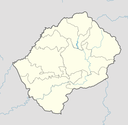
Khubelu
| Khubelu | |
|---|---|
| Community Council | |
 Khubelu Geographic Center of Community | |
| Coordinates: 29°16′46″S 28°46′40″E / 29.27944°S 28.77778°E | |
| Country |
|
| District | Mokhotlong District |
| Elevation[1] | 7,772 ft (2,369 m) |
| Population (2006) | |
| • Total | 8,690 |
| Time zone | CAT (UTC+2) |
| Coordinates computed from Lesotho Villages file.[2] | |
Khubelu is a community council located in the Mokhotlong District of Lesotho. Its population in 2006 was 8,690.[3]
Villages
The community of Khubelu includes the villages of[4]
|
Foreisetata |
Ha Seotsanyane Ha Sotane Ha Toeba Khotsang Koeneng Letlapeng Liepeleng Linokong Lipeleng Maboling Mafikeng Mahesheleng Mainyatso Majakeng |
Makhiseng Makokoaneng Makorong Malingoaneng Maotoana Maqhaung Maresele Masakoaneng Masalla Masokong Materaseng Matikiring Matsieng Meeling |
Mohloling Nqobelle Ntšupe Semapong Semonkong Sephokong Taung Tena-Bapehi (Ha Manakana) Thaba-Sephara Thuhloane Tibising Tloha-re-bue Tsitsa |
References
- ↑ GTOPO30 via GeoNames. Retrieved 2010-10-04.
- ↑ Google Earth Download Site Retrieved 2010-07-21.
- ↑ Statoids.com
- ↑ Lesotho Bureau of Statistics, Village List 2006.
External links
This article is issued from Wikipedia - version of the 11/9/2016. The text is available under the Creative Commons Attribution/Share Alike but additional terms may apply for the media files.