Hitra Wind Farm
| Hitra Wind Farm | |
|---|---|
 View of the farm on top of the mountain | |
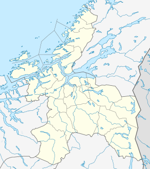 Location of the park | |
| Official name | Hitra vindpark |
| Country | Norway |
| Location | Hitra, Sør-Trøndelag |
| Coordinates | 63°32′31″N 08°45′32″E / 63.54194°N 8.75889°ECoordinates: 63°32′31″N 08°45′32″E / 63.54194°N 8.75889°E |
| Status | Active |
| Construction began | July 2003 |
| Commission date | 14 October 2004 |
| Construction cost | NOK 450 million |
| Owner(s) | Statkraft |
| Wind farm | |
| Type | Onshore |
| Avg. site elevation | 300 m (984 ft) |
| Site usage | Mountain plateau |
| Hub height | 70 m (230 ft) |
| Rotor diameter | 82.4 m (270 ft) |
| Rated wind speed | 8 m/s (26.2 ft/s) |
| Power generation | |
| Units operational | 24 |
| Nameplate capacity | 55 MW |
| Average generation | 150 GWh |
| Source[1] | |
Hitra Wind Farm is a 24 turbine wind farm located in the municipality of Hitra in Sør-Trøndelag county, Norway and operated by Statkraft. The farm is located on top of the Elsfjellet plateau in the central part of the island of Hitra, just 3 kilometres (1.9 mi) south of the village of Straum and about 15 kilometres (9.3 mi) west of Sandstad. Until the expansion of the Smøla Wind Farm in 2005, Hitra was the largest wind farm in the country and had total cost of NOK 450 million.
Each of the 24 wind turbines produces 2.3 MW of power for a maximum generated effect of 55 megawatts (74,000 hp) for the whole farm. This give an average annual generating capacity of 150 gigawatt-hours (540 TJ) for the whole farm. The farm was opened on 14 October 2004.[2]
References
- ↑ Statkraft. "Hitra vindpark" (PDF) (in Norwegian). Retrieved 2010-12-28.
- ↑ Statkraft. "Hitra vindpark" (in Norwegian). Archived from the original on 2007-11-06. Retrieved 2007-11-07.