Hatun Hirka (Huaylas-Santa)
This article is about the mountain on the border of the provinces of Huaylas and Santa, Ancash Region, Peru. For other uses, see Hatun Hirka.
| Hatun Hirka | |
|---|---|
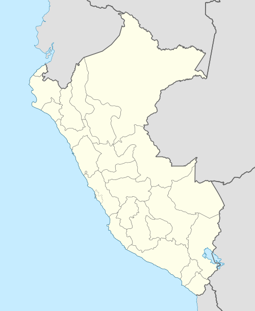
 Hatun Hirka Peru | |
| Highest point | |
| Elevation | 3,400 m (11,200 ft) [1] |
| Coordinates | 9°02′46″S 78°00′54″W / 9.04611°S 78.01500°WCoordinates: 9°02′46″S 78°00′54″W / 9.04611°S 78.01500°W |
| Geography | |
| Location | Peru, Ancash Region |
| Parent range | Andes, Cordillera Negra |
Hatun Hirka (Quechua hatun big, hirka mountain,[2][3] "big mountain", also spelled Atun Irca) is a mountain in the Cordillera Negra in the Andes of Peru which reaches a height of approximately 3,400 m (11,200 ft). It is located in the Ancash Region, Huaylas Province, Pamparomas District, and in the Santa Province, Cáceres del Perú District, northwest of Pamparomas.[1]
References
- 1 2 escale.minedu.gob.pe - UGEL map of the Huaylas Province (Ancash Region)
- ↑ Diccionario Quechua - Español - Quechua, Academía Mayor de la Lengua Quechua, Gobierno Regional Cusco, Cusco 2005 (Quechua-Spanish dictionary)
- ↑ "Vocabulario comparativo, quechua ecuatoriano - quechua ancashino - castellano - English, Brighton 2006" (PDF). Robert Beér, Armando Muyolemaj, Dr. Hernán S. Aguilarpaj. Retrieved June 3, 2016.
This article is issued from Wikipedia - version of the 6/9/2016. The text is available under the Creative Commons Attribution/Share Alike but additional terms may apply for the media files.