Eilean Hoan
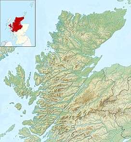
Eilean Hoan is an island in Loch Eriboll in Sutherland on the north coast of Scotland. It is about 28 hectares (69 acres) in extent and the highest point is 25 metres (82 ft) above sea level. Its name is of Gaelic and Old Norse derivation and means "haven island".[4][5]
The island was last inhabited in the early 19th century and the Ordnance Survey indicate the presence of a ruined croft. It is now a nature reserve. Eilean Hoan is located at the northern, seaward end of the loch and there are various small islets in the vicinity including A' Ghoil-sgeir, An Cruachan, An Dubh-sgeir, Eilean Clùimhrig, and Pocan Smoo.[2][6]
Further south, and deeper into the loch is Eilean Choraidh.
References
Notes
- ↑ Rick Livingstone’s Tables of the Islands of Scotland (pdf) Argyll Yacht Charters. Retrieved 12 Dec 2011.
- 1 2 Ordnance Survey. Get-a-map (Map). 1:25,000. Leisure. Ordinance Survey. Retrieved 21 August 2013.
- ↑ Area and population ranks: there are c. 300 islands over 20 ha in extent and 93 permanently inhabited islands were listed in the 2011 census.
- ↑ Haswell-Smith (2004) p. 203
- ↑ "Place Names in Durness" states that the names is "from the old Norse How-ey, the burial island." See "Place Names in Durness" countysutherland.co.uk. Retrieved 29 November 2009.
- ↑ "Place Names in Durness" countysutherland.co.uk. Retrieved 29 November 2009.
Coordinates: 58°33′58″N 4°40′33″W / 58.56611°N 4.67583°W / 58.56611; -4.67583
|
|---|
|
| |
|
|
|
|
|
|
|
|
|
| Culture |
|---|
| | Shetland | |
|---|
| | Orkney | |
|---|
| | Outer Hebrides | |
|---|
| | Inner Hebrides | |
|---|
|
|
|
| Politics |
|---|
| | Local authorities | |
|---|
| | Serving MSPs | |
|---|
| | Serving MPs | |
|---|
| | Other | |
|---|
|
|
|
| Wildlife |
|---|
| | Fauna | |
|---|
| | Flora | |
|---|
| | Domesticated animals | |
|---|
|
|
|
|