Dubois Municipal Airport (Idaho)
| Dubois Municipal Airport | |||||||||||
|---|---|---|---|---|---|---|---|---|---|---|---|
| IATA: none – ICAO: none – FAA LID: U41 | |||||||||||
| Summary | |||||||||||
| Airport type | Public | ||||||||||
| Owner | City of Dubois | ||||||||||
| Serves | Dubois, Idaho | ||||||||||
| Elevation AMSL | 5,123 ft / 1,561 m | ||||||||||
| Coordinates | 44°09′44″N 112°13′14″W / 44.16222°N 112.22056°WCoordinates: 44°09′44″N 112°13′14″W / 44.16222°N 112.22056°W | ||||||||||
| Map | |||||||||||
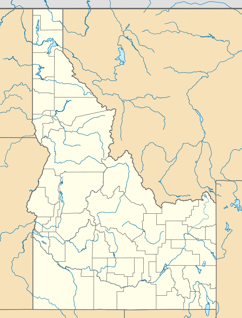 U41 Location of airport in Idaho | |||||||||||
| Runways | |||||||||||
| |||||||||||
| Statistics (2011) | |||||||||||
| |||||||||||
Dubois Municipal Airport (FAA LID: U41) is a city owned, public use airport located one nautical mile (2 km) southeast of the central business district of Dubois, a city in Clark County, Idaho, United States.[1]
Facilities and aircraft
Dubois Municipal Airport covers an area of 305 acres (123 ha) at an elevation of 5,123 feet (1,561 m) above mean sea level. It has one runway designated 16/34 with a gravel and dirt surface measuring 4,600 by 100 feet (1,402 x 30 m).[1]
For the 12-month period ending August 4, 2011, the airport had 1,010 aircraft operations, an average of 84 per month: 99% general aviation and 1% military.[1]
References
- 1 2 3 4 FAA Airport Master Record for U41 (Form 5010 PDF). Federal Aviation Administration. Effective May 31, 2012.
External links
- Aerial image as of July 1992 from USGS The National Map
- Resources for this airport:
- FAA airport information for U41
- AirNav airport information for U41
- FlightAware airport information and live flight tracker
- SkyVector aeronautical chart for U41
This article is issued from Wikipedia - version of the 4/10/2013. The text is available under the Creative Commons Attribution/Share Alike but additional terms may apply for the media files.