Bromelton Dam
| Bromelton Dam | |
|---|---|
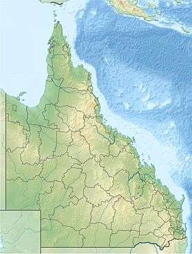 Location of the Bromelton Dam in Queensland | |
| Country | Australia |
| Location | South East Queensland |
| Coordinates | 27°56′44″S 152°57′14″E / 27.94556°S 152.95389°ECoordinates: 27°56′44″S 152°57′14″E / 27.94556°S 152.95389°E |
| Purpose | Potable water supply |
| Status | Operational |
| Opening date | 2008 |
| Operator(s) | SEQ Water |
| Dam and spillways | |
| Type of dam | Embankment dam |
| Impounds | Off-stream |
| Length | 4,110 m (13,480 ft) |
| Reservoir | |
| Creates | Bromelton Offstream Storage |
| Total capacity | 8,210 ML (1,810×106 imp gal; 2,170×106 US gal)[1] |
| Catchment area | 1 km2 (0.39 sq mi) |
| Surface area | 1 ha (2.5 acres) |
|
Website www | |
The Bromelton Dam is an earth-fill embankment dam located off-stream at Gleneagle in the South East region of Queensland, Australia. The main purpose of the dam is for potable water supply of the Beaudesert area.[2] The resultant reservoir is called Bromelton Offstream Storage.
Since its completion, Bromelton Offstream Storage delivered an additional 5,000 megalitres (1,100×106 imp gal; 1,300×106 US gal) in water supply capacity, working in conjunction with Cedar Grove Weir and the Wyaralong Dam, that was completed in 2001, to improve the reliability of the Logan River Water Supply Scheme in drought conditions.
See also
References
External links
Water supply in Queensland, Australia | |||||||||||||||||||||
|---|---|---|---|---|---|---|---|---|---|---|---|---|---|---|---|---|---|---|---|---|---|
| |||||||||||||||||||||
| |||||||||||||||||||||
This article is issued from Wikipedia - version of the 11/9/2016. The text is available under the Creative Commons Attribution/Share Alike but additional terms may apply for the media files.