Braunston-in-Rutland
| Braunston-in-Rutland | |
 All Saints' Church |
|
 Braunston-in-Rutland |
|
| Area | 2.5 sq mi (6.5 km2) [1] |
|---|---|
| Population | 392 2001 Census[2] |
| – density | 157/sq mi (61/km2) |
| OS grid reference | SK834069 |
| – London | 84 miles (135 km) SSE |
| Unitary authority | Rutland |
| Shire county | Rutland |
| Ceremonial county | Rutland |
| Region | East Midlands |
| Country | England |
| Sovereign state | United Kingdom |
| Post town | OAKHAM |
| Postcode district | LE15 |
| Dialling code | 01572 |
| Police | Leicestershire |
| Fire | Leicestershire |
| Ambulance | East Midlands |
| EU Parliament | East Midlands |
| UK Parliament | Rutland and Melton |
Coordinates: 52°39′N 0°46′W / 52.65°N 0.77°W
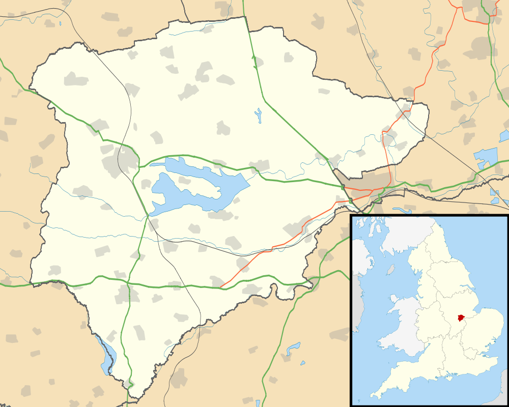
Braunston-in-Rutland is a village and civil parish in the county of Rutland in the East Midlands of England. The population of the civil parish was 392 at the 2001 census, including Brooke and increasing to 502 at the 2011 census.[3] Leicestershire lies on the parish's western boundary
Braunston is located roughly three miles (4.8 km) south-west of the county town of Oakham. The River Gwash flows through the village.
The village retains two public houses, The Old Plough, and the 17th-century Blue Ball Inn. The parish church, which has a circular churchyard, is dedicated to All Saints.
The Braunston "Goddess"

A sculpted stone stands in the churchyard, at the west end of the church, close to the tower. Known as the Braunston "Goddess", it was found in about 1920 when the church doorstep needed to be replaced. When the slab was lifted the carving was revealed on the underside. There has been considerable speculation as to its age and meaning, and its original position as part of the church building, or whether it may even predate the church. It is clearly not a gargoyle as it has no drainage channel. It may have had an apotropaic purpose. It has facial and stylistic similarities with some Irish Sheela na Gigs, but it has no genitalia.

References
- ↑ "A vision of Britain through time". University of Portsmouth. Retrieved 30 January 2009.
- ↑ "Rutland Civil Parish Populations" (PDF). Rutland County Council. 2001. Retrieved 30 January 2009.
- ↑ "Civil Parish population 2011". Neighbourhood Statistics. Office for National Statistics. Retrieved 24 June 2016.
External links
 Media related to Braunston-in-Rutland at Wikimedia Commons
- At the Edge article on the Braunston "Goddess"
- Sheela Na Gig Project article on the Braunston figure
- Step back in time in Rutland, The Observer, The Guardian, January 25, 2009
- Braunston Church Website
- www.theblueballbraunston.co.uk Rutland's oldest in The Blue Ball at Braunston