Bilsborrow

Coordinates: 53°51′14″N 2°44′38″W / 53.854°N 2.744°W
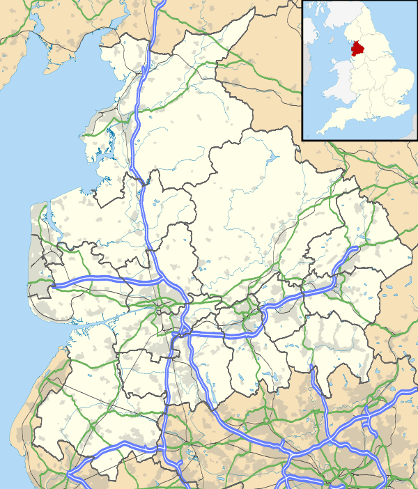
Bilsborrow /ˈbilzbərə/ is a village on the A6 road and the Lancaster Canal, in the Wyre District, in the English county of Lancashire. It is approximately 1 mile (2 km) east of Myerscough. Bilsborrow was a civil parish until 2003 when it merged with the neighbouring parish of Myerscough to form the parish of Myerscough and Bilsborrow.
Bilsborrow has a primary school, a post office and local shop, and a fish and chip shop, one Church of England Church and two public houses, the Roebuck and the White Bull, a canalside tavern Owd Nell's Tavern, a Premier Inn hotel, a canalside lodge, a guest house, and a themed thatched hamlet 'village' with restaurant, hotel and tavern.
References
Philip's Street Atlas (page 159)
External links
![]() Media related to Bilsborrow at Wikimedia Commons
Media related to Bilsborrow at Wikimedia Commons